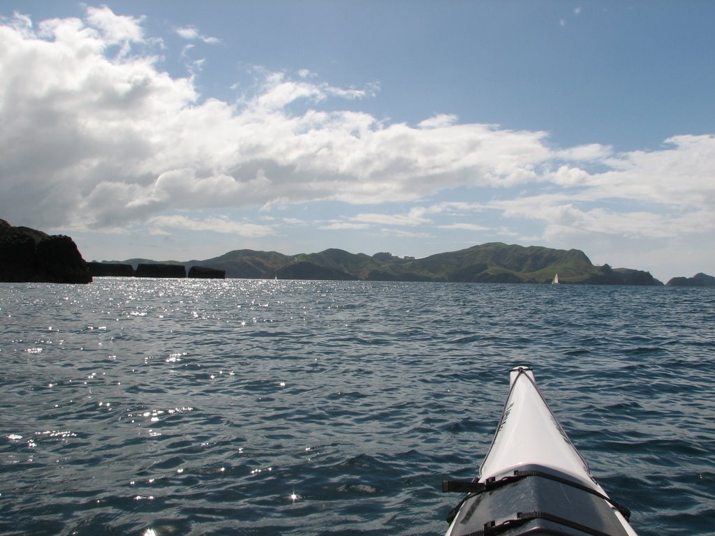
I am getting to the point that I have to start thinking about where I haven’t’ paddled yet. As I leave Cooper’s Bay I decide that I should do the northern half of the Bay of Islands and drive back to Piahia and then up to a small Kiwi sanctuary known as Aroha Island. Now Aroha is not really an island as there is causeway that connects the island to the mainland but it is enough to keep the Possums and Stoats out and the Kiwi in. I drive onto the island and meet the caretaker of the island which is owned but the Queen Elizabeth II trust. The profits from the camping grounds on the island go to the running of the education center and the general maintenance. Accept for a German Family that have been traveling for months around NZ, I have the place to myself. I find a cozy little place to camp and then get the boat ready to launch. My plan is to paddle this afternoon to the island of Moturoa which is about 15 km away. There are a collection of lava rock islands that run along the east side of Moturoa Island. The winds are at 15 to 20 knots and expected to pick up later in the afternoon. I will have a tail wind going out and a bit of a slog on my return. Oh well them’s the breaks. This is supposed to be a day trip but I am going to try and knock it out in half a day.
The tide is out and there is a storm heading my way. I launch out and start heading into the main part of the Kerikeri Inlet looking over my shoulder to take stock of the landmarks I will need to allow my return. I can see the dark clouds on the horizon just beyond heading my way. I ride the wind waves out to a small group of islands called the Rahui Islands, they are more of a reef that true islands. I look north west to see if I could use the larger island of Motupapa ( Cocked Hat Island) for wind cover on the return trip. I scout the two bays (Doves and Opito) on the northern shore with their moored sailboat for the same reason. Bay hop back along the lee shore, that’s the plan.
After crossing the Kent Passage I reach Moturoa’s western end in little over an hour. So against the wind I figure I should double the time from this point and that leaves me about two hours to circumnavigate Moturoa (which will be about 8 km) and visit the Black Rocks.
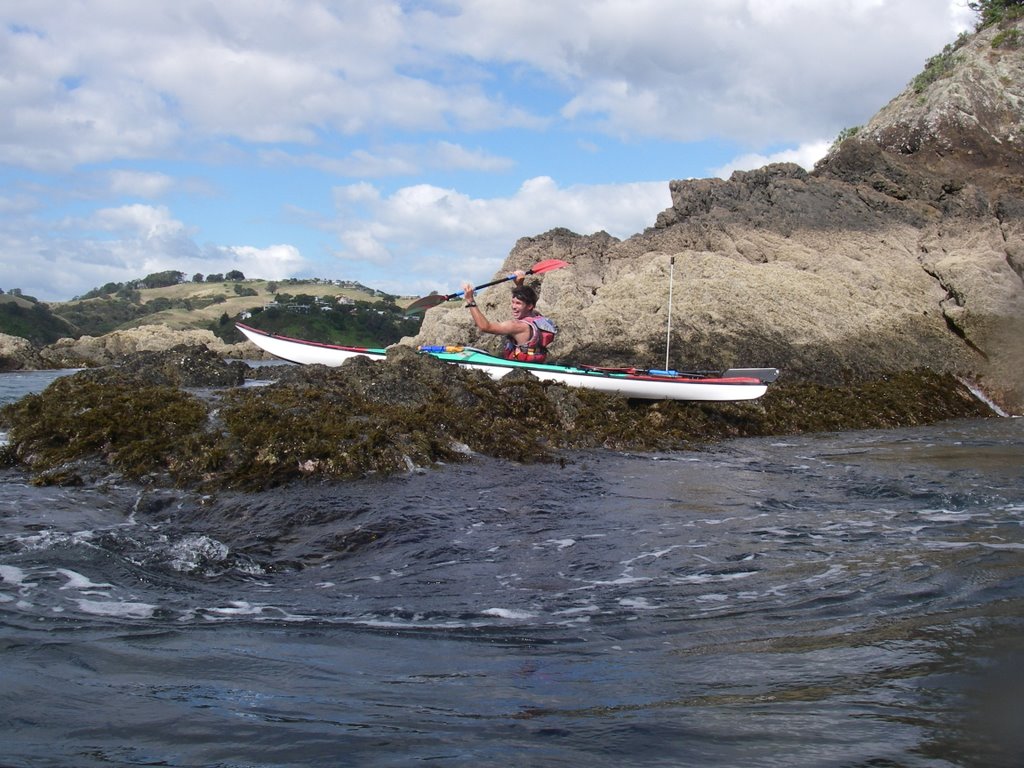
I start down the northern side of the island. There is a peninsula / island sticking out of Moturoa’s side. It becomes an island at really high tide but has no name but the charts show a passage between them. It sticks right up out of the water with shear cliffs. I go to the spot where it is nearest the main island and being low tide there is a little land bridge preventing me from taking a short cut through. I follow along the steep cliff walls until I turn the corner of the now peninsula and into the sheltered water of it’s lee. I paddle along the rocky shoreline until I reach the eastern end. I can see out into the south pacific due east and up to Cape Wiwiki to the north. I see the chain of almost black obelisks that are sticking right out of the water about a kilometer away and just as then the storm that has been closing fast hit me. The rain is intense and the water dances wildly from the raindrops. The visibility goes to about 100 meters and I can see the really hard rain coming at me in a grey wall sweeping over the surface of the water. I am half way between the Black rocks and the main island when the first wave hits me. It hasn’t rained this hard since Greymouth on the west coast of the south island. I turn into the storm and realize that I am laughing out loud throwing taunts at the storm. Telling it to do its worst! Me and my big mouth! Just then I hear the Thunder and I know that I have pissed off Poseidon once again. I can just make out the Black Rocks and there head hard to the safety. I slide myself between two of the towers and just bob in the water until the storm passes. I can see on the other side of the rocks that a sail boat race of some sort is going on as a whole line of boats are healing hard over as they passing just east of me heading north. Their decks are a blur of activity and their crews work to manage the changing conditions. Small fishing boats have also taken shelter in the lee of the rocks. They probably think I’m Nuts.
The squall passes almost as suddenly as it appeared. The sky brighten and the sun comes bursting out. The water turns glassy and I take some time to investigate the rocks around me. What a change in the weather. There are no landing spots to be had on the Rocks so I paddle back to Moturoa and land for lunch on the very tip of eastern end. The shore is rocky accept for this pebble beach that cuts over from the west to the south side of the island. It looks as if no one has landed here in quite a while. I collect a bunch of really nice shells and have lunch. After lunch I decide to pickup every bit of garbage that I can find on the beach. Most if not all if it was blown up on the beach and has been sitting there for god knows how long. I fill up the front of my boat with plastic bottles old bits of rope and oddly enough clothes pins. Now the beach is cleaner than when I found it. I back up my lunch stuff and launch. I follow the southern side of the island which is semi protected from the winds but now I have to make an open crossing against the 25 know head wind that is blowing between the island and the mainland. I head into the wind and slog it out until I can reach be lee side of Motupapa Island. Then I head due north to the lee of the shore and Opito bay. I bay hope over to Dove Bay and then I hug the coast line for the remainder of the trip. As the light fails I reach my little campsite and drag my boat up on to the grass. A good day out!
That night I go looking for Kiwi on Aroha but I don’ find any. I guess John Kirk Anderson was right. Kiwi don’t really exist. DOC has some guy with fake Kiwi Feet making tracks for the tourist!